BarSwat
A practical guide to reaching the Falak Sar (5,918 m) base from Kalam, approach, fitness, permits, gear and trusted local outfitters.
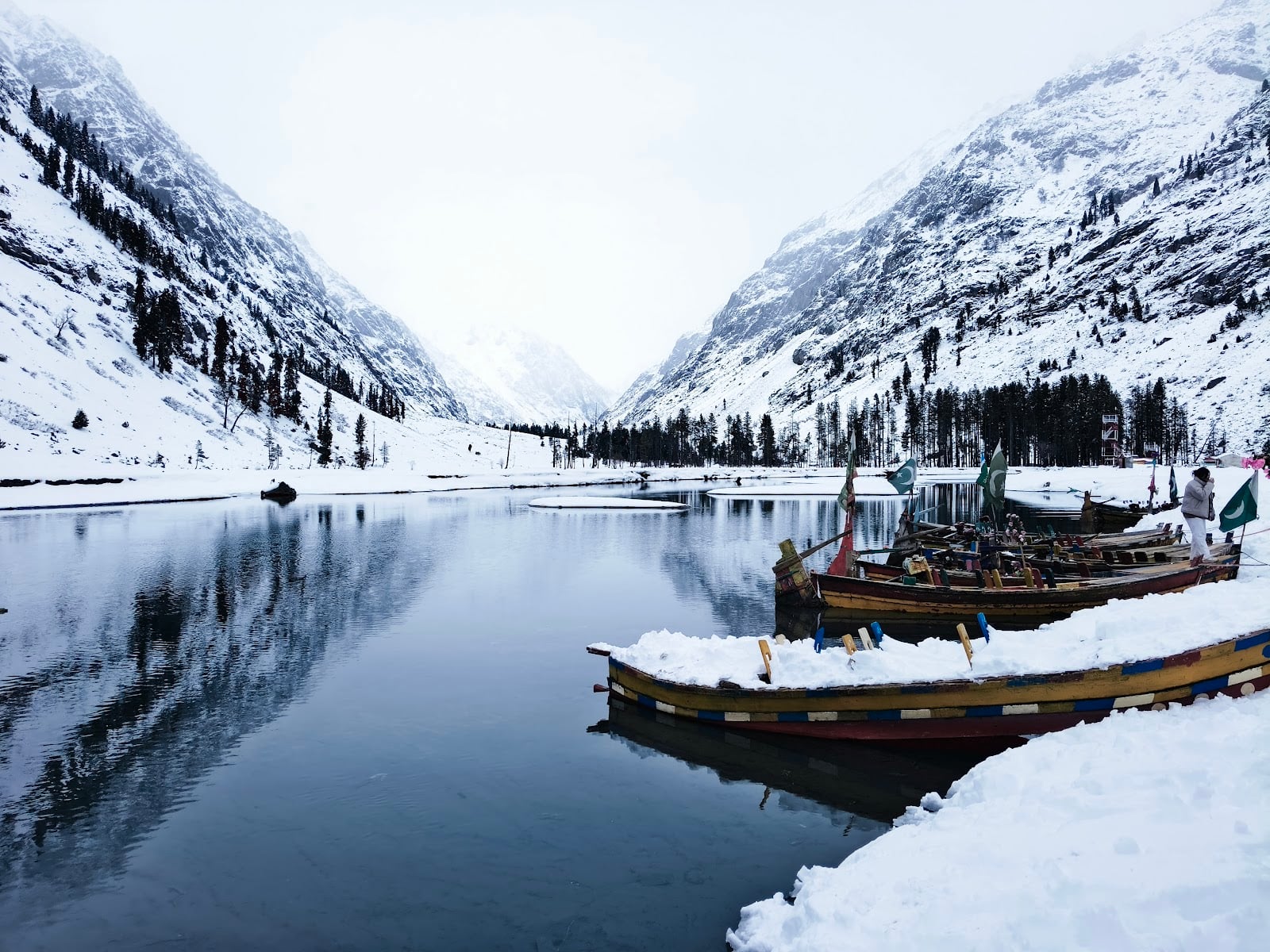
Falak Sar (5,918 m) is the highest peak of the Hindu Raj range and one of the iconic mountains of upper Swat. It rises north of the Mahodand valley and dominates the skyline from the upper Ushu plateau. The peak is a serious mountaineering objective and is not a casual hike. The base camp area, however, is reachable by experienced trekkers with proper preparation and is a rewarding multi-day trip.
Reaching the Falak Sar base area is a strenuous trek that requires at least one prior multi-day Himalayan or Hindu Kush trekking experience, good cardio fitness, and acclimatization above 3,500 m. Summiting the peak requires technical mountaineering. Rope, ice axe, crampons and prior climbing experience. Do not attempt either as a casual visitor.
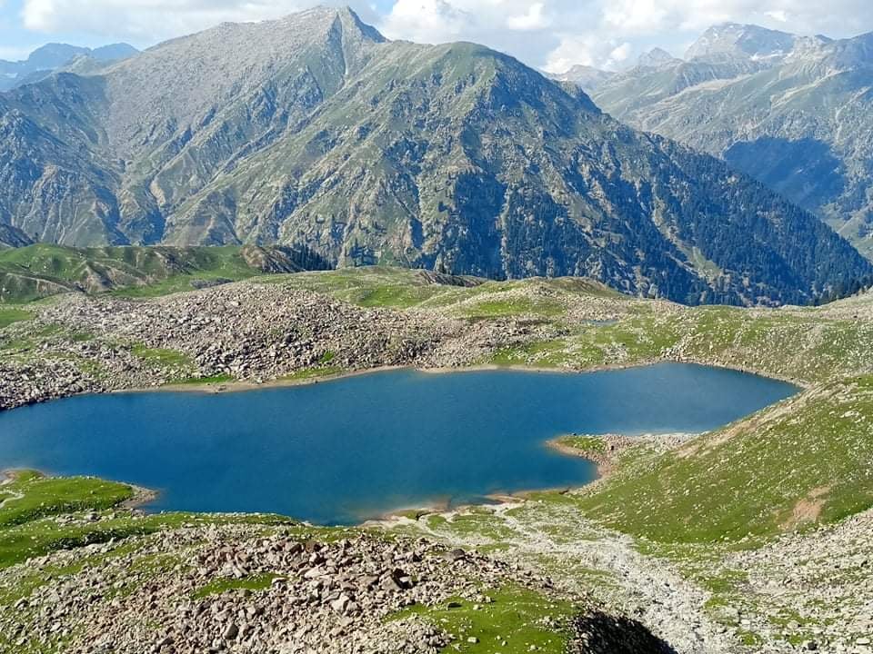
From Kalam, take a jeep up the Ushu Forest road via Matiltan to the upper Mahodand valley. From the road head, the trail climbs the moraines and grass slopes northward toward the Falak Sar massif. The base area is typically reached over 2 to 3 days of trekking with porters carrying camp equipment. Total approach distance from the road head is approximately 15 to 25 km depending on the chosen camp.
Spend at least 2 nights in Kalam (2,000 m) before starting. Camp the first night near Mahodand (2,865 m). Climb high, sleep low principle: ascend during the day to higher elevations and return to lower camp to sleep. Allow at least 5 to 6 days for the approach and acclimatization stages. Carry a pulse oximeter and check SpO2 each evening. Values below 80 percent at rest indicate poor acclimatization.
Four-season tent rated for snow, sleeping bag rated to minus 15°C, closed cell foam pad, mountaineering boots, gaiters, layered clothing (thermal base, fleece, hardshell jacket and trousers), insulated jacket, gloves (light + heavy), beanie, glacier sunglasses, headlamp with spare batteries, trekking poles, compass, GPS or downloaded offline map. For summit attempts: rope, ice axe, crampons, harness, helmet.
For technical climbing of Falak Sar above 6,000 m elevation, mountaineering permits and royalty fees are required from the Alpine Club of Pakistan and the Gilgit-Baltistan and KP tourism authorities. For non-technical base treks below the snow line, no formal climbing permit is required but you should register your itinerary with the local tourist police and your hotel in Kalam, and inform a family member of your plan.
A licensed trekking guide costs roughly PKR 5,000 to 8,000 per day depending on experience. Porters charge PKR 2,500 to 4,500 per day per load (typical load 20 to 25 kg). Most Kalam hotels can connect you with experienced local outfitters who organize multi-day Mahodand-area treks. For technical Falak Sar climbs, only work with internationally certified mountain guides, usually arranged through registered Pakistan trekking companies based in Islamabad.
Plan 3,500 to 4,500 calories per day per person. Trail food: oats, peanut butter, dried fruits, energy bars, instant noodles, instant rice, dehydrated soup, biscuits, chocolate, dry milk, tea, sugar. Cook with a multi-fuel stove. Treat all water with iodine, chlorine tablets or a high-grade filter. Glacial water looks clean but contains fine silt that upsets stomachs.
July, August and early September are the recommended window. Snowline is high enough, jeep tracks are open and weather is most stable. June can still have heavy snow on the upper sections. Late September brings risk of early winter storms. For technical summit attempts, narrow weather windows in July are usually used.
Always trek in a team of at least four. Carry a satellite communicator like Garmin inReach in addition to your phone. Phone signal vanishes above Ushu village. Inform Rescue 1122 and the local tourist police of your full itinerary. Plan turnaround times conservatively. Bad weather, altitude sickness or injury means you abort. The mountain will always be there next year; never push a marginal decision.
5,918 meters. It is the highest peak in the Hindu Raj range.
No. It requires prior multi-day high-altitude trekking experience and good cardio fitness.
For technical climbs a formal mountaineering permit is required. For non-technical base treks, register with local tourist police and your hotel.
July, August and early September offer the most stable weather and open trails.
Typically 5 to 7 days from Kalam to base area and back, with proper acclimatization stages.
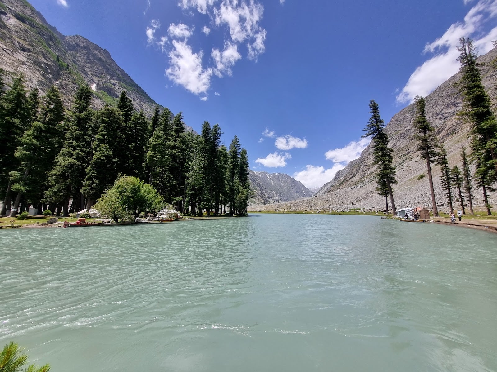
Yes. The peak is clearly visible from upper Mahodand valley on clear mornings, accessible by 4x4 jeep day trip from Kalam.
Real, verified places in Swat Valley related to this guide — tap any card for photos, hours, phone and directions.
Real Swat tips on hotels, routes, and where to eat — hop on WhatsApp or leave a note on our contact page.